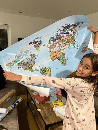
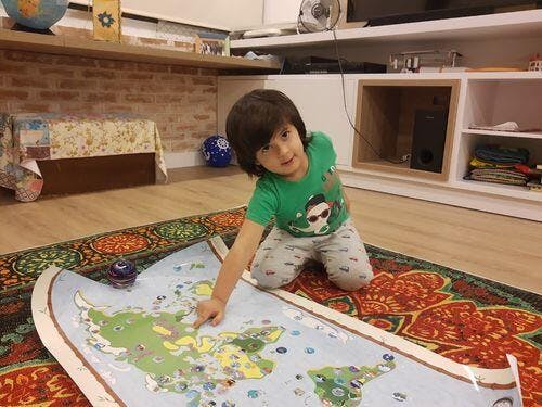
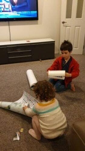
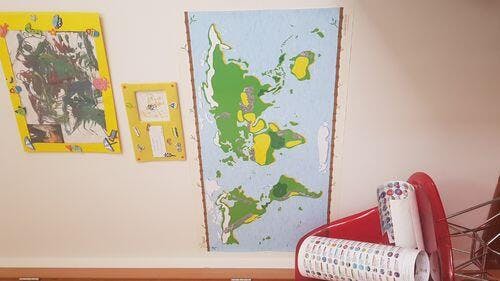
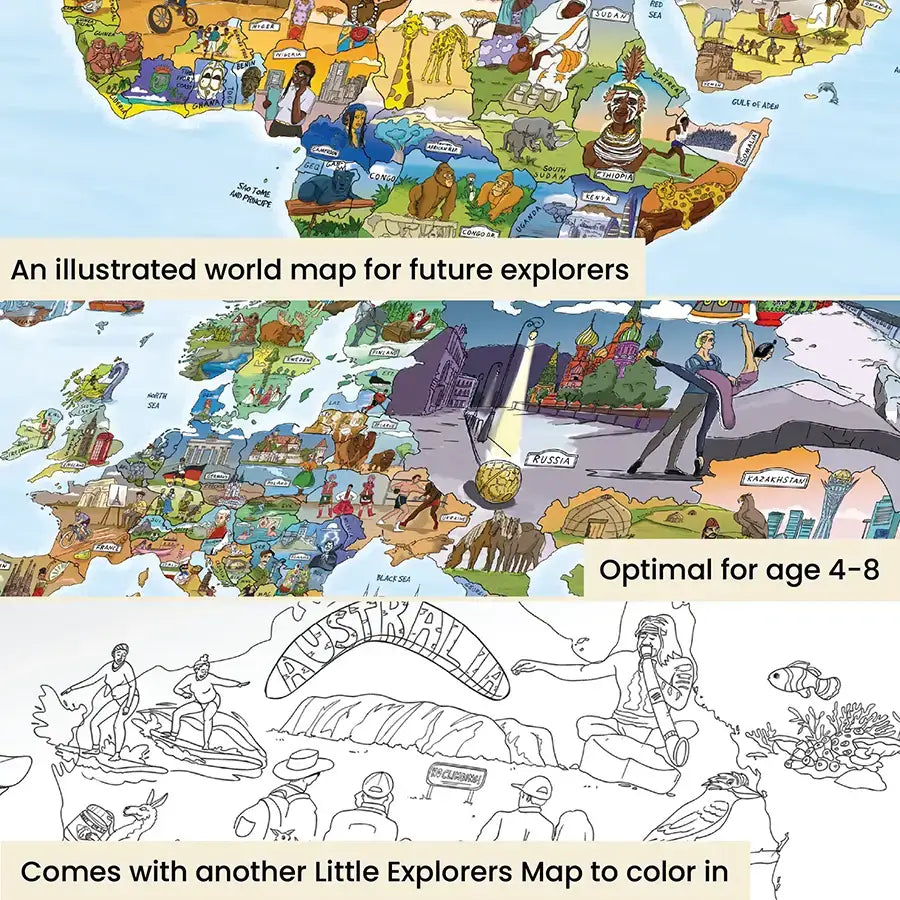
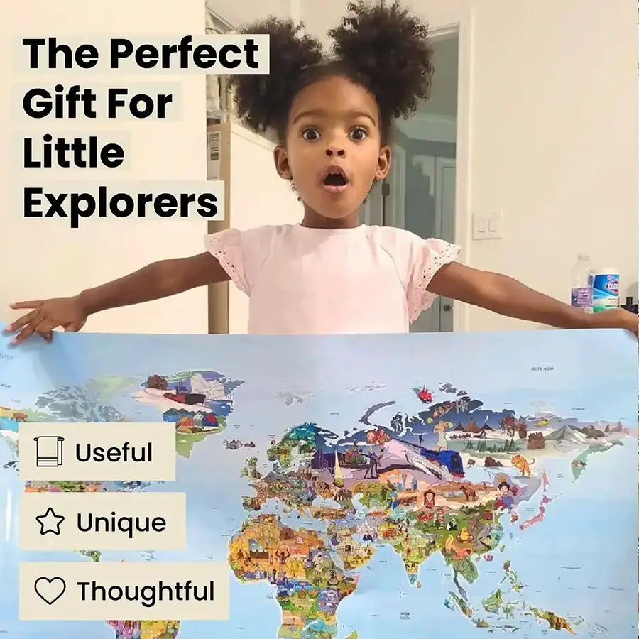
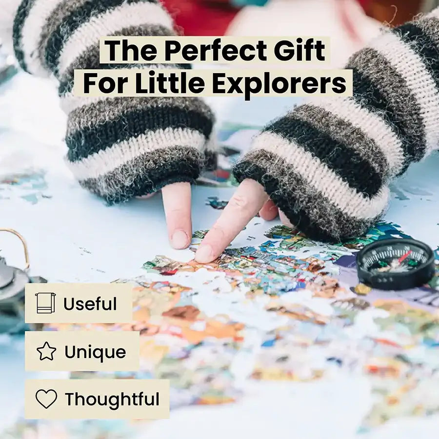
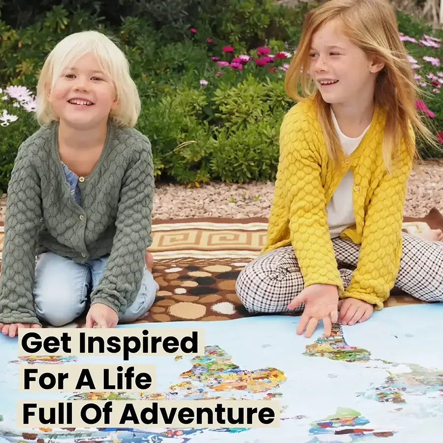
Little Explorers Map
- Fully visual, great for kids everywhere
- Info on animals, food, landmarks & more
- Hand illustrated & made in the EU
Here's to 2025: Buy Any 2 Products and Get 1 Free + Free Shipping on 2+ Products
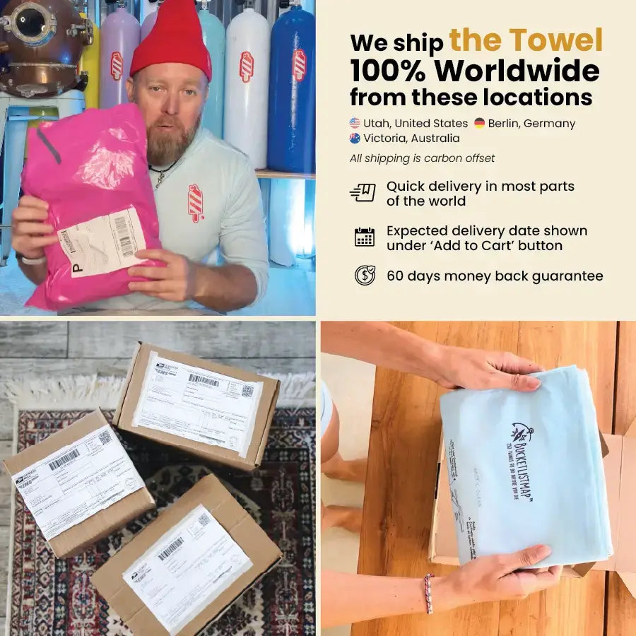
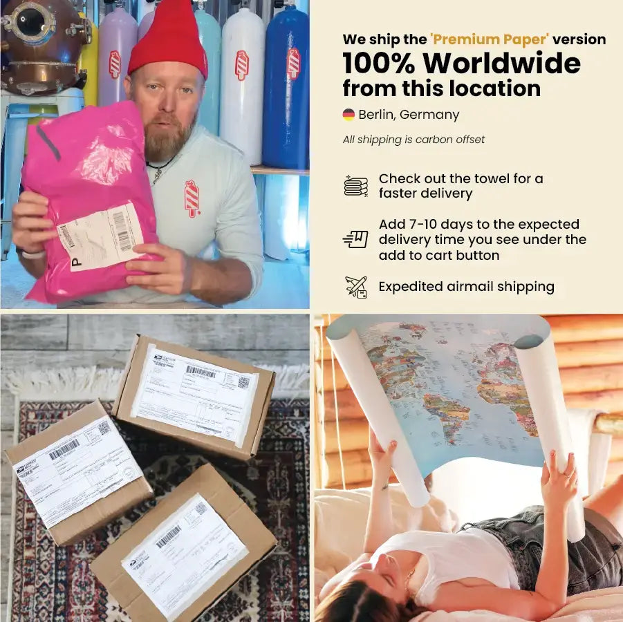
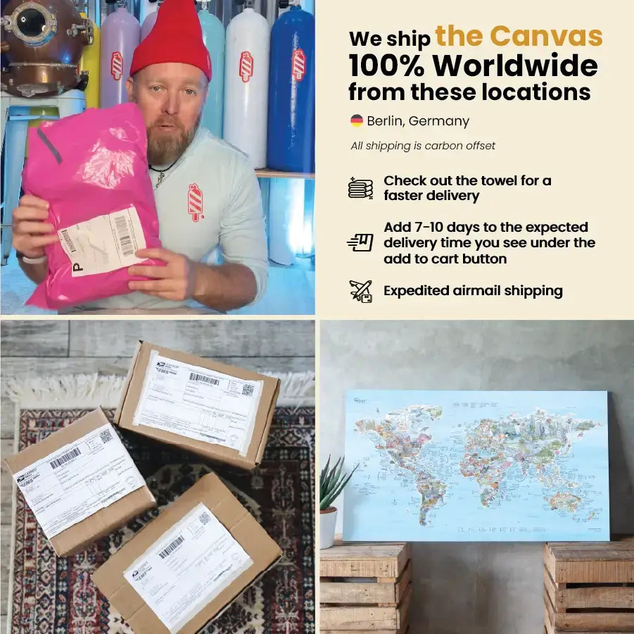
We ship worldwide from various locations.
Free Shipping on 2+ Products, otherwise
- United States & Canada: $7.90
- Australia (domestic) & New Zealand: $7.90
- EU: €9.90
- Germany: €4.90
- Rest of World: $14.90
We accept returns for up to 60 days. Please refer to our shipping & return policy for all details.
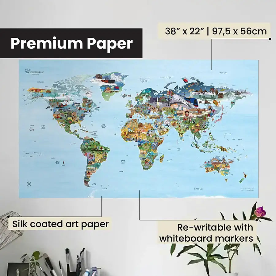
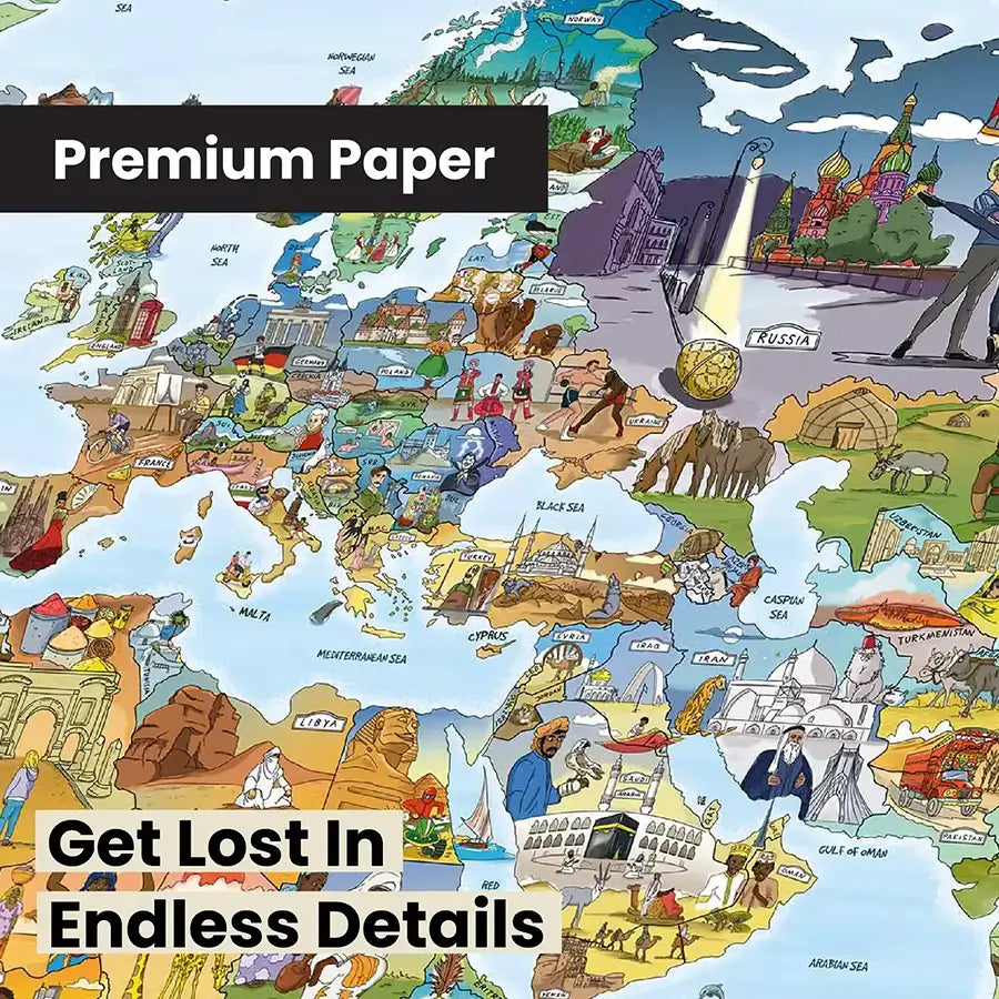
Premium Paper
• 97,5 x 56 cm (38" x 22")
• 250gsm (170lbs) art paper – high quality, acid free, silk coated paper
• Writable with a dry-erase marker
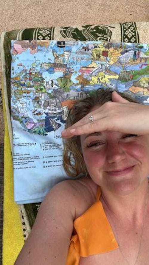
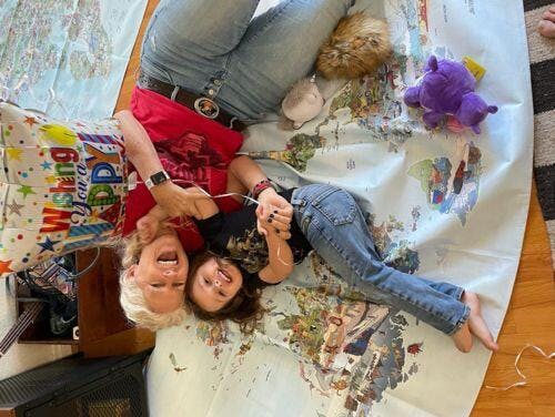
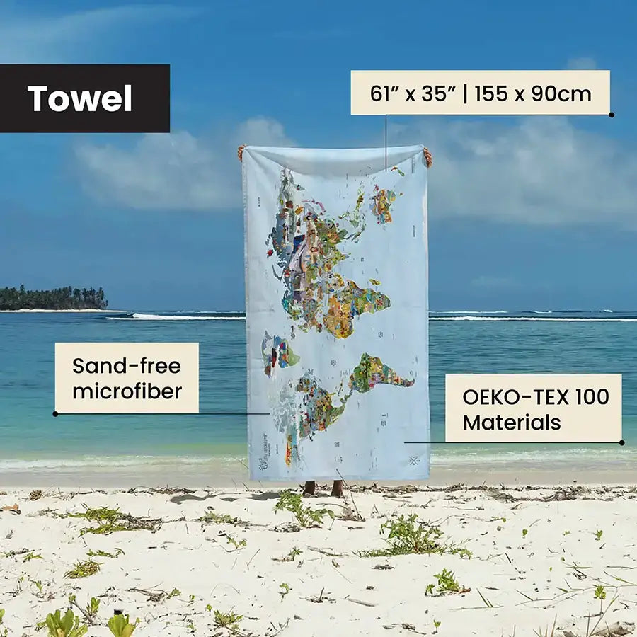
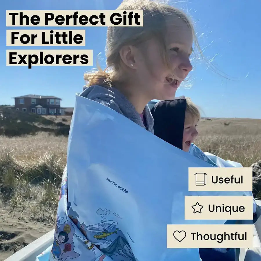
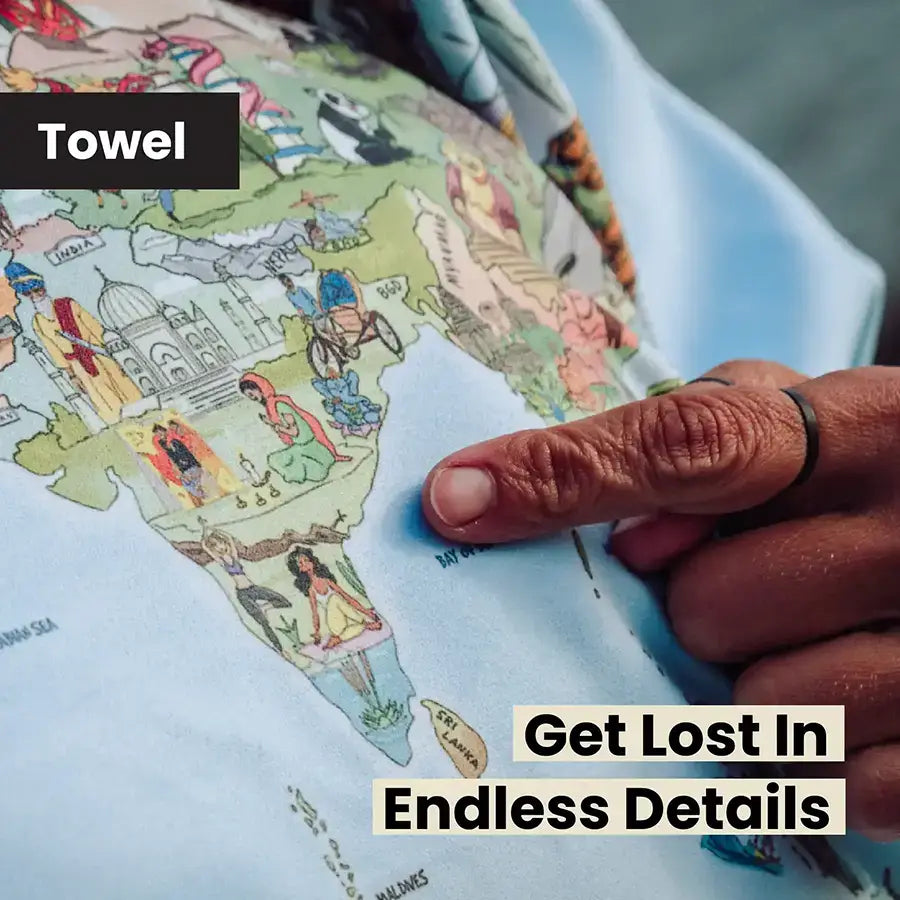
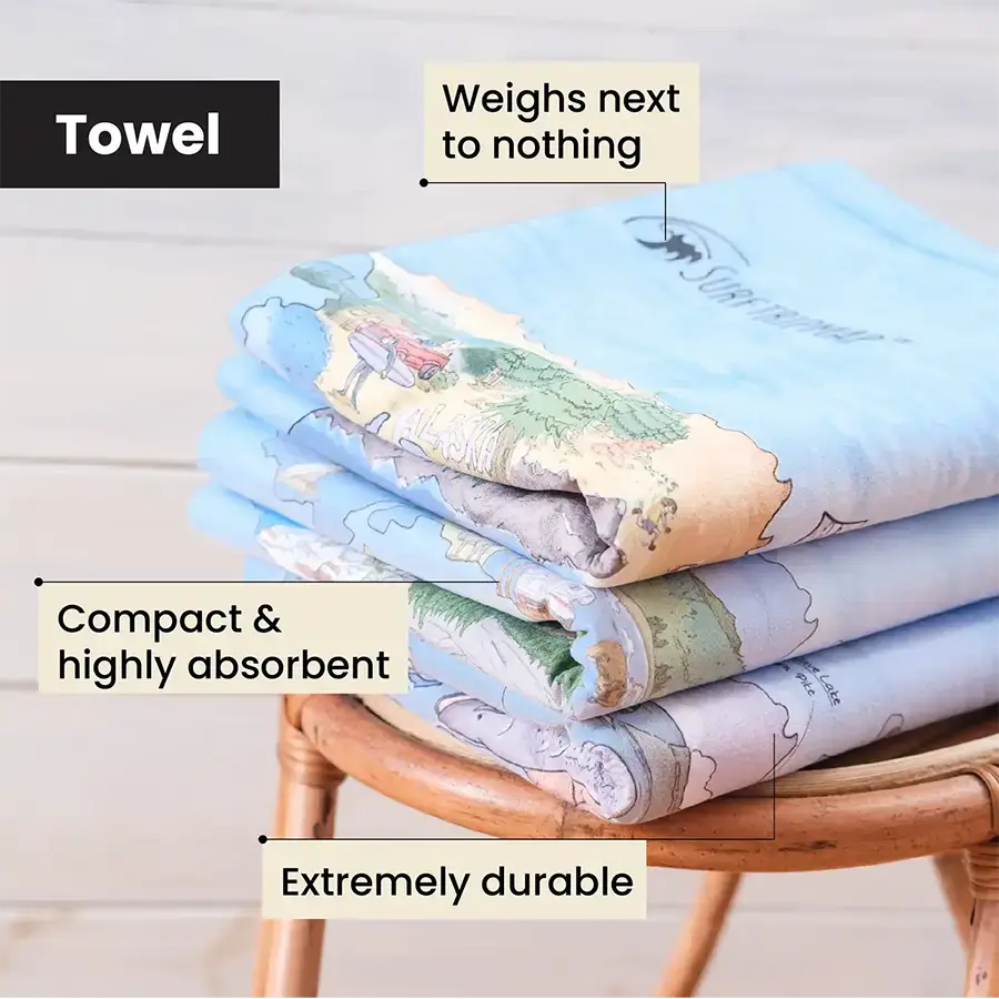
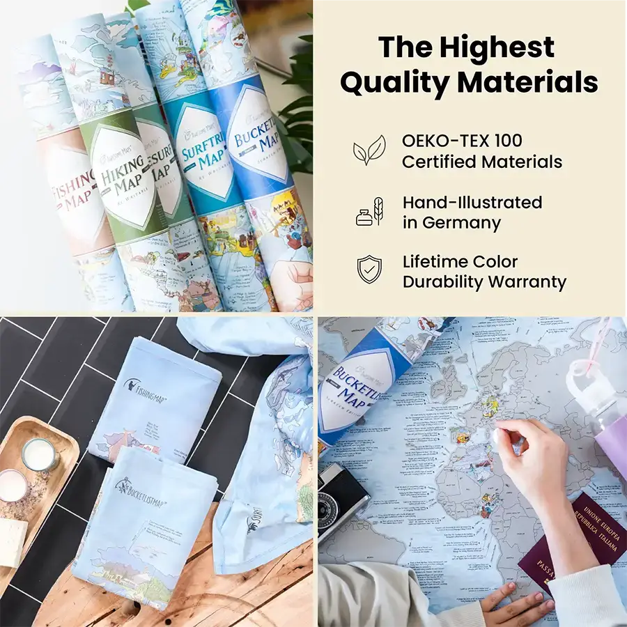
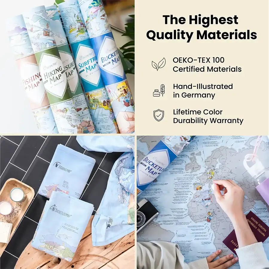
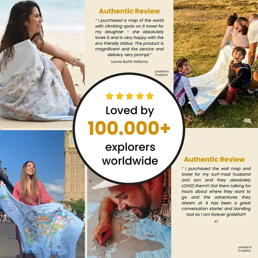
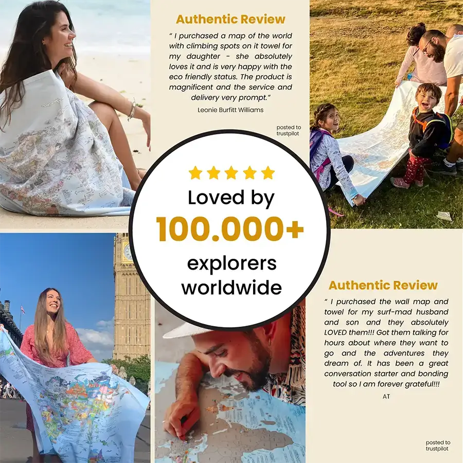
Towel
• 155 x 90 cm (61” x 35”) microfiber towel
• Quick drying and highly absorbent material
• Antibacterial and super lightweight
• No PVC and solvent-free inks
• OEKO-TEX 100 certified
Towel
• 155 x 90 cm (61” x 35”) microfiber towel
• Quick drying and highly absorbent material
• Antibacterial and super lightweight
• No PVC and solvent-free inks
• OEKO-TEX 100 certified
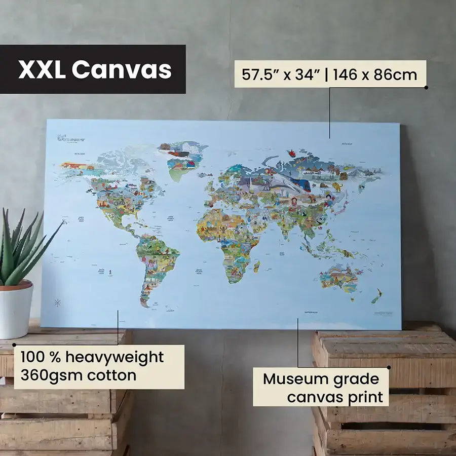
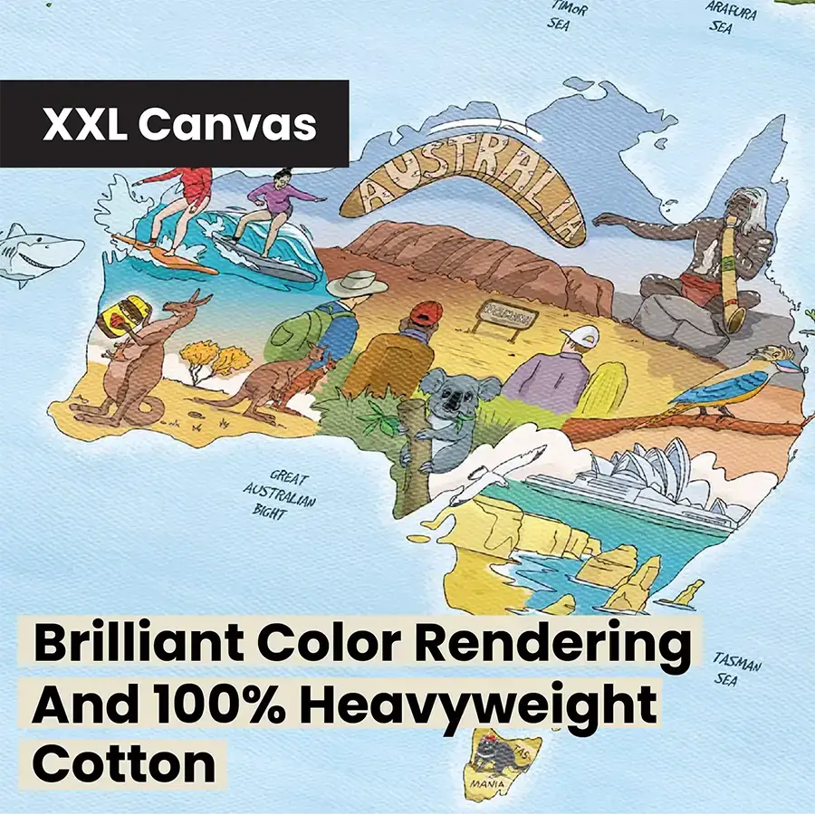
XXL Canvas
• Size 146 x 86 cm (57.5" x 34")
• Made of 100% heavyweight 360 gsm cotton. The feel is super high quality
• Matt coating for exclusive art reproductions with brilliant color rendering
• Eco conscious water based ink
• Does not include a frame, frame can be bought separately
XXL Canvas
• Size 146 x 86 cm (57.5" x 34")
• Made of 100% heavyweight 360 gsm cotton. The feel is super high quality
• Matt coating for exclusive art reproductions with brilliant color rendering
• Eco conscious water based ink
• Does not include a frame, frame can be bought separately
Save Up to 35%!
- Buy any 2 Products, Get 1 Product of your choosing (add 3 products to the cart and 1 (the cheapest) will automatically be FREE)
- Free Shipping on all orders with 2+ products


Add a Towel for 35% OFF
& Unlock Free Shipping
2x Towels

Add a Towel for 35% OFF
& Unlock Free Shipping
Premium Paper + Towel

Add a Towel for 35% OFF
& Unlock Free Shipping
XXL Canvas + Towel