+ Free Shipping when you buy 2+ Products
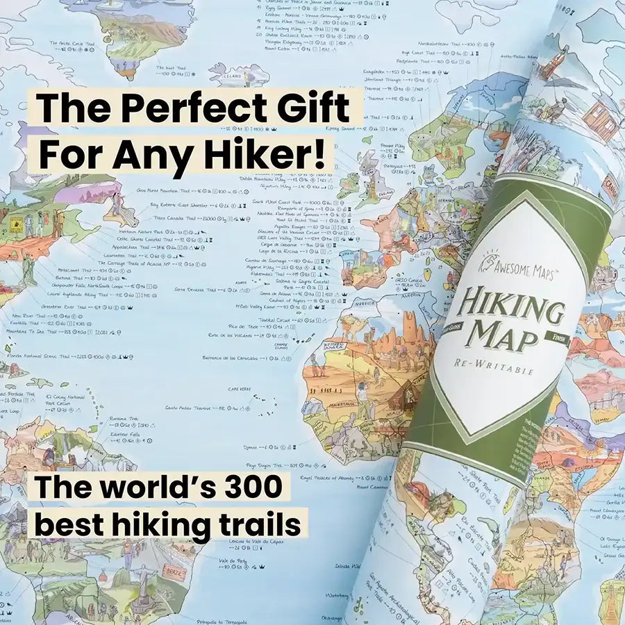
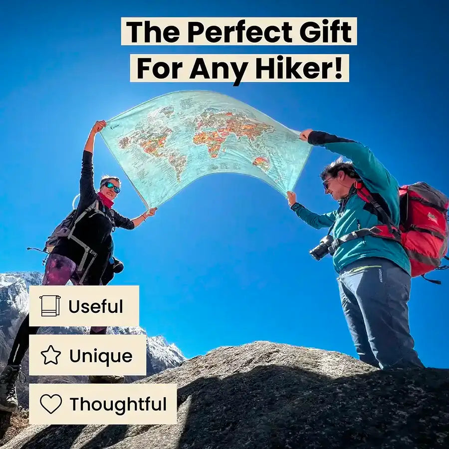
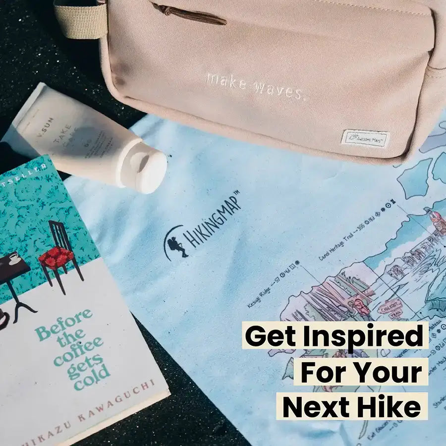
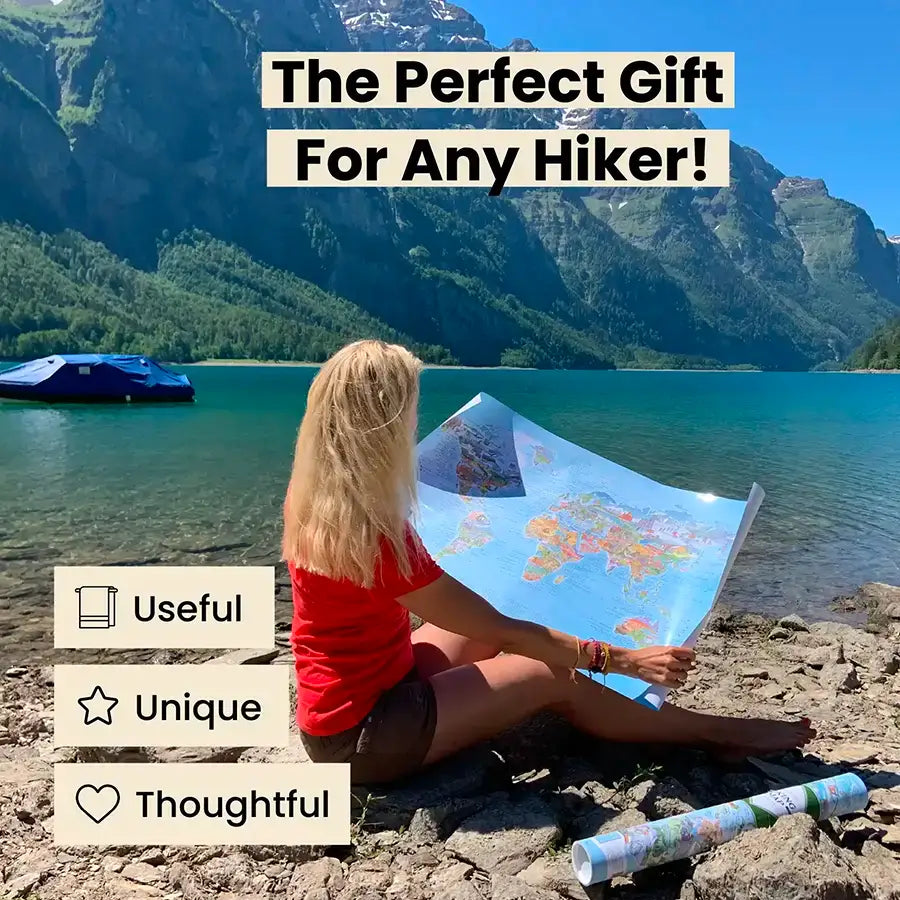
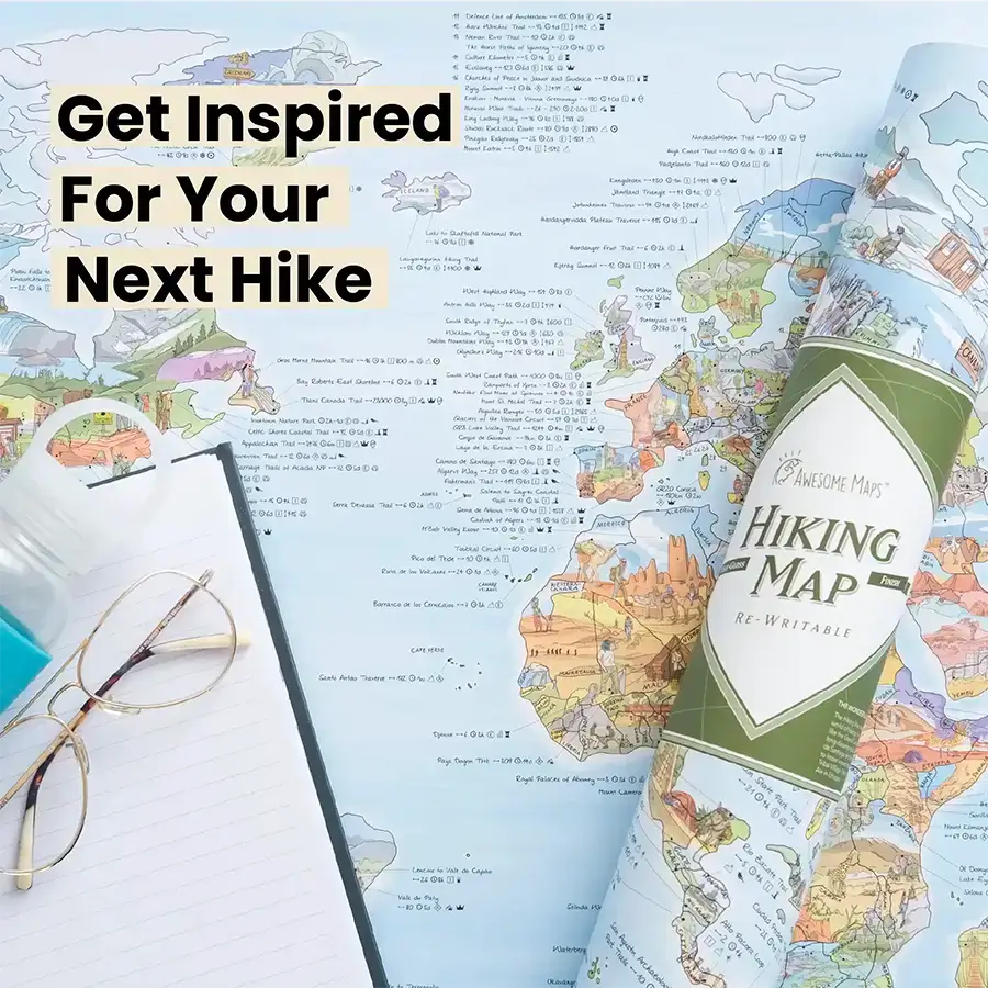
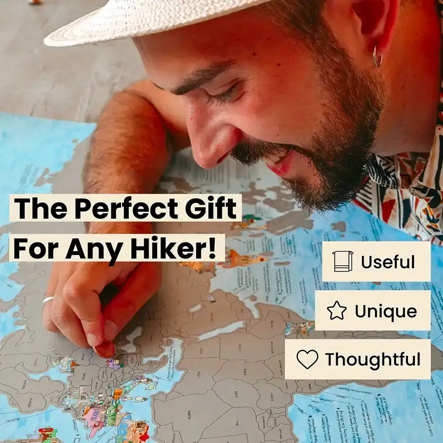
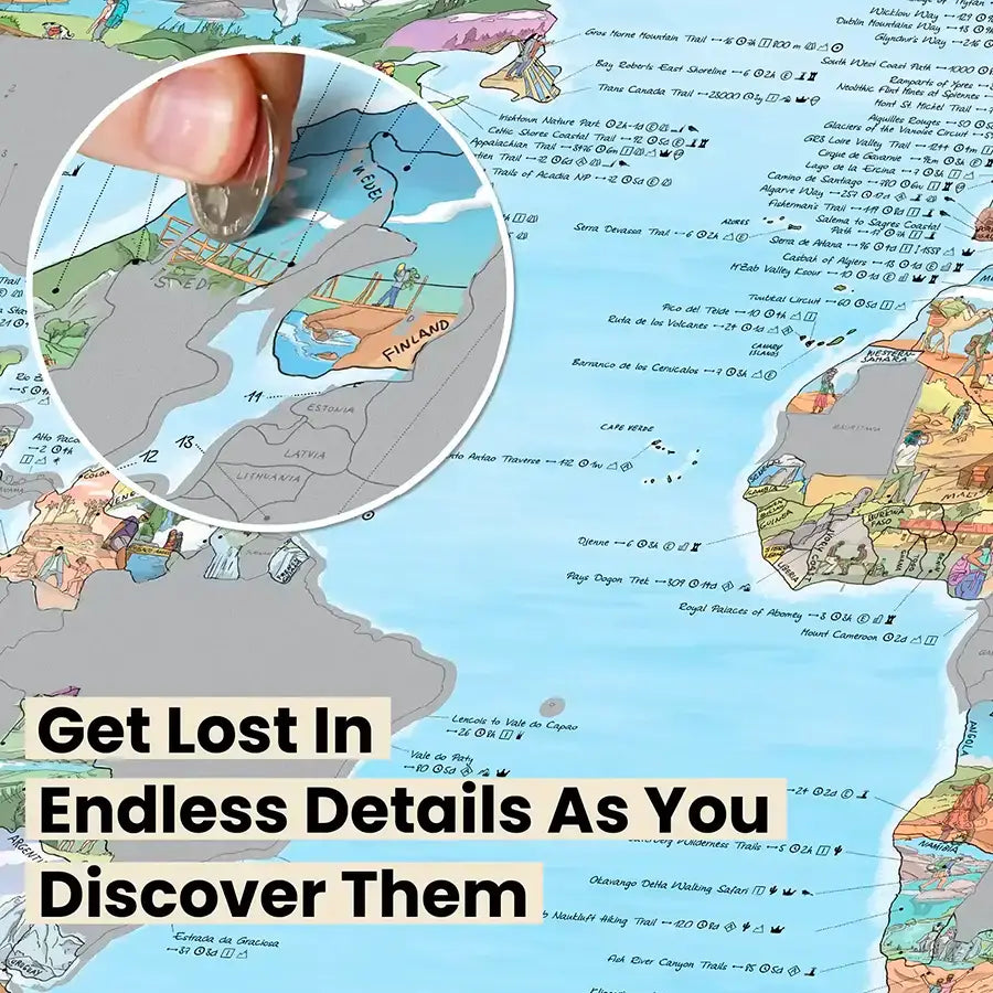
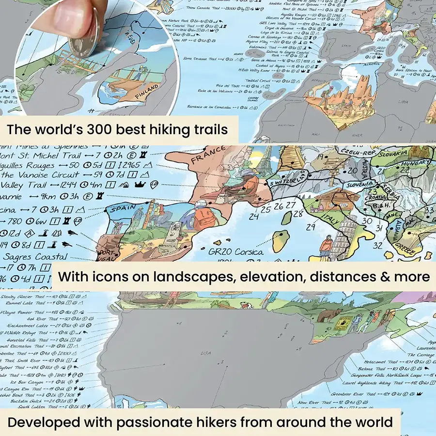
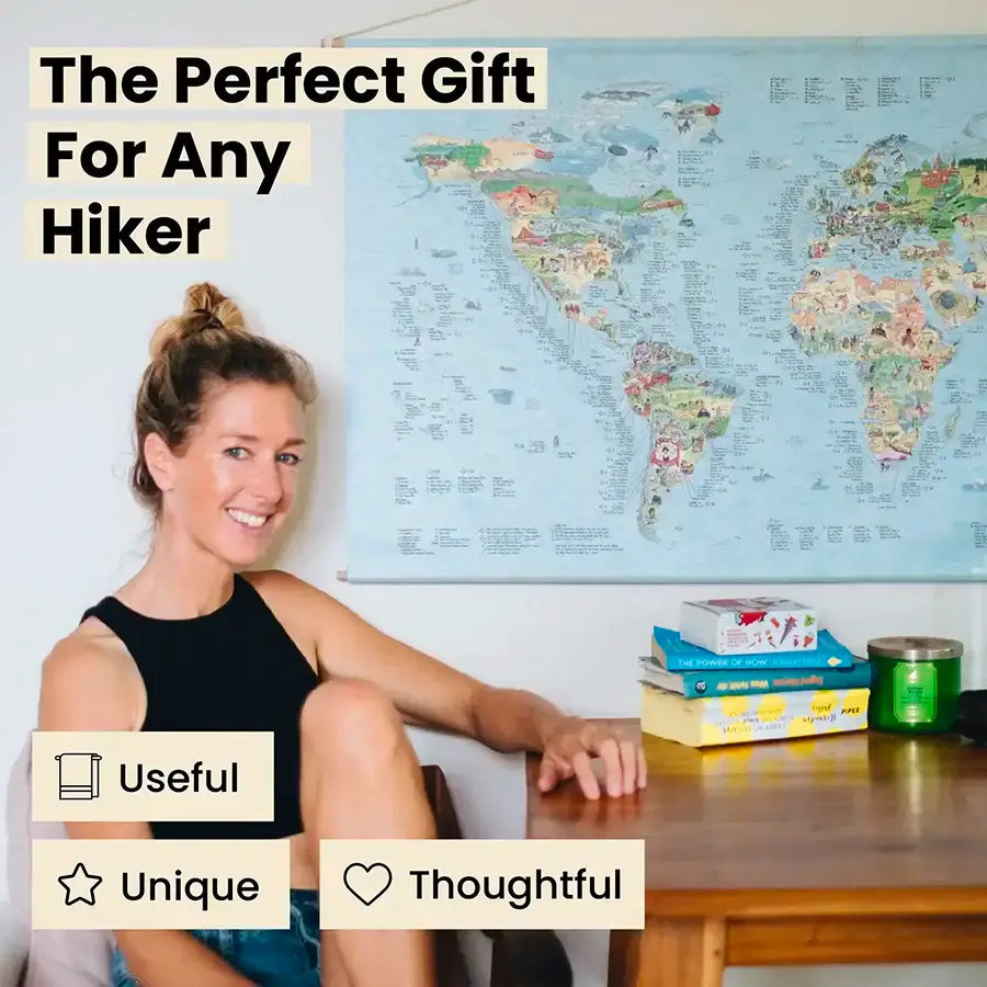
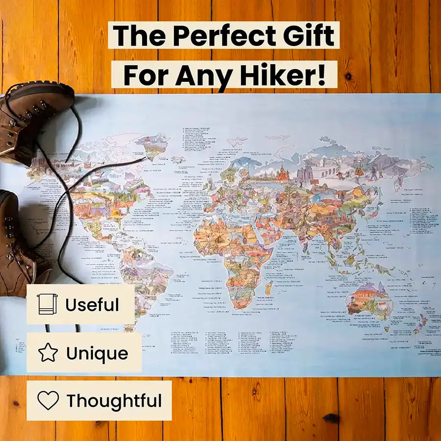
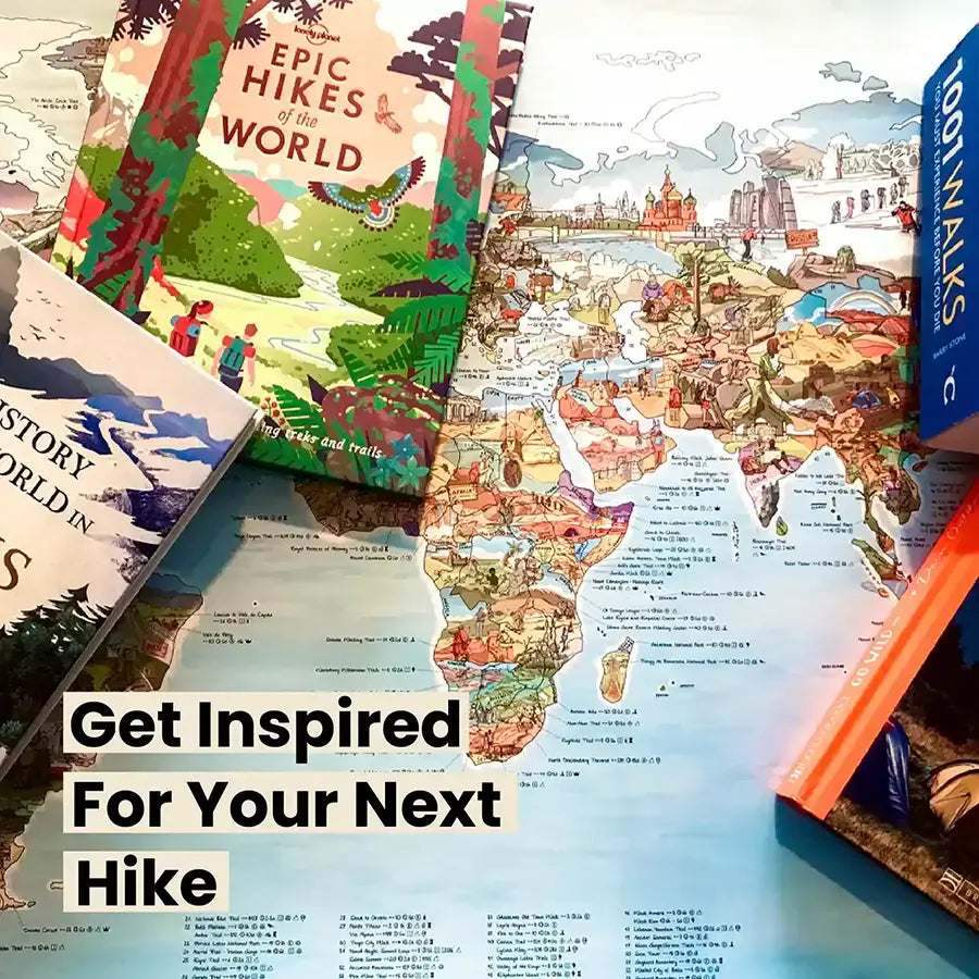
Hiking Map
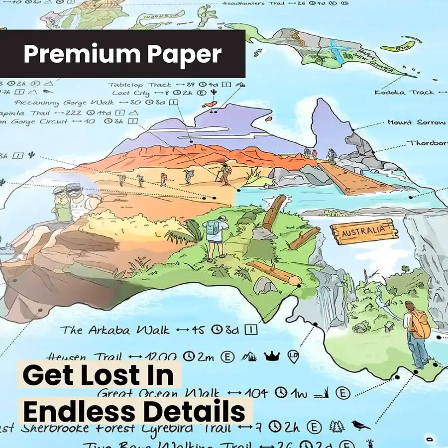
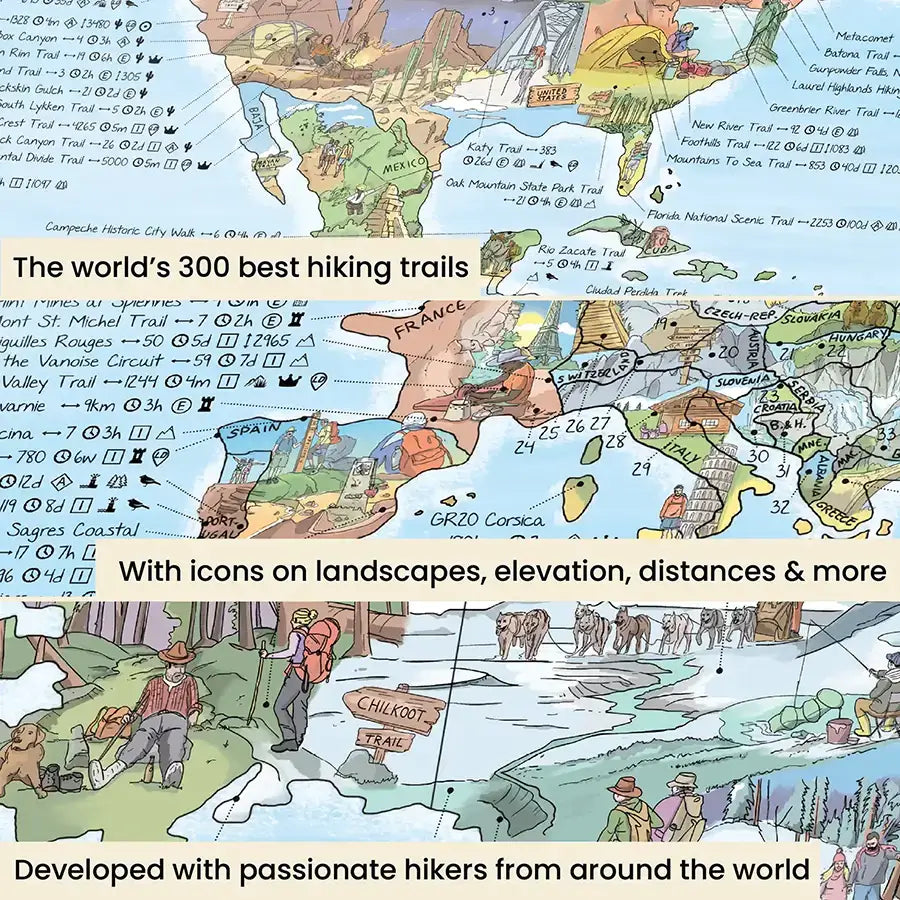
- The world's top 300 trails
- Icons on landscape, length & more
- Hand illustrated & made in the EU

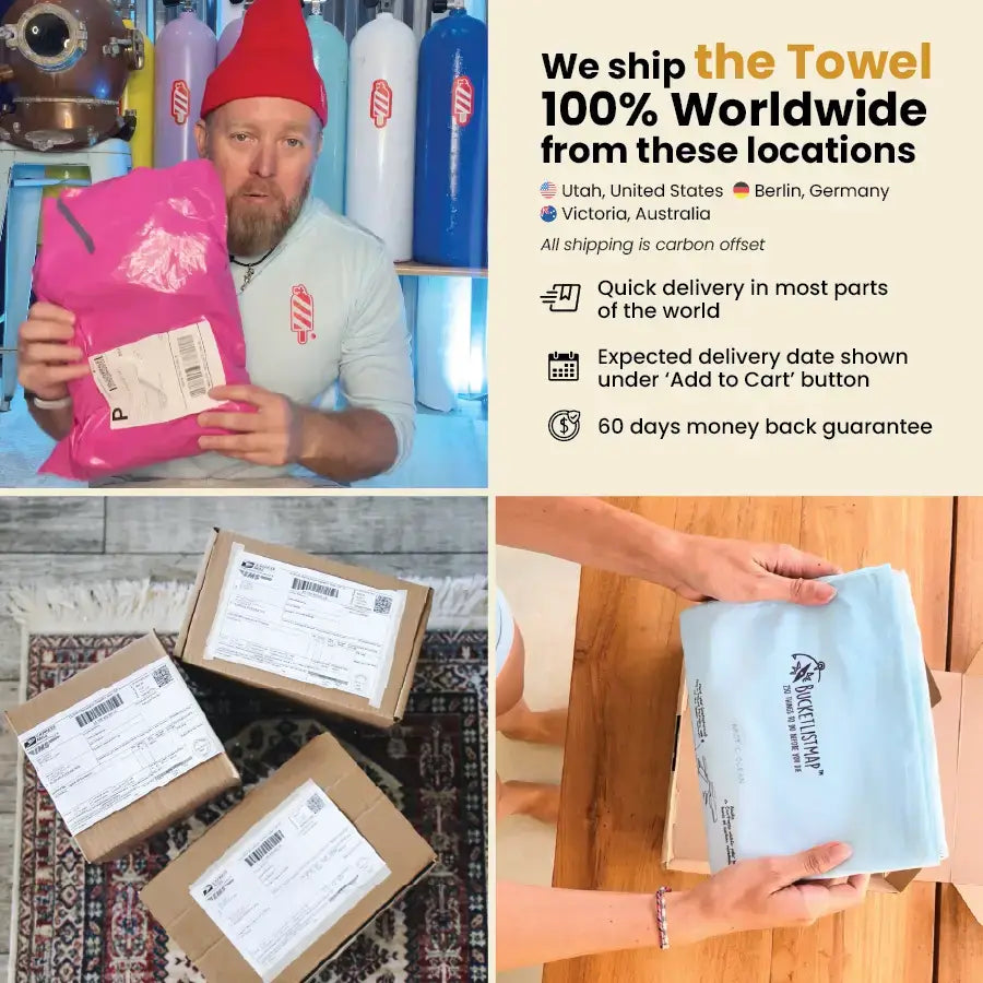
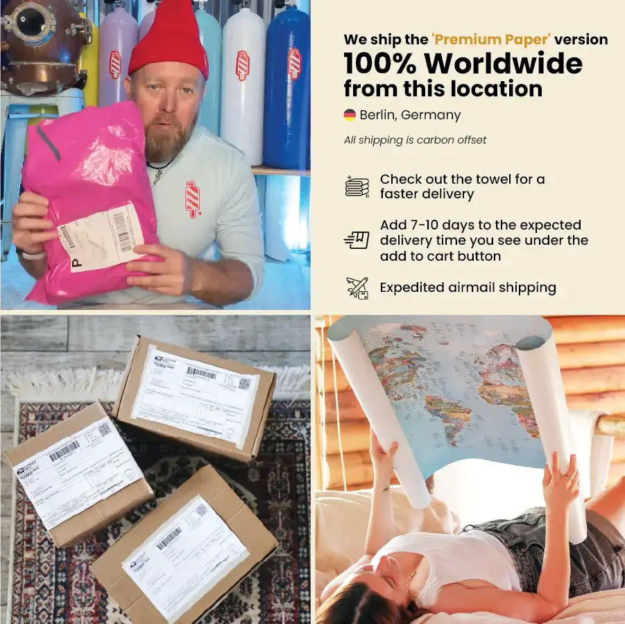
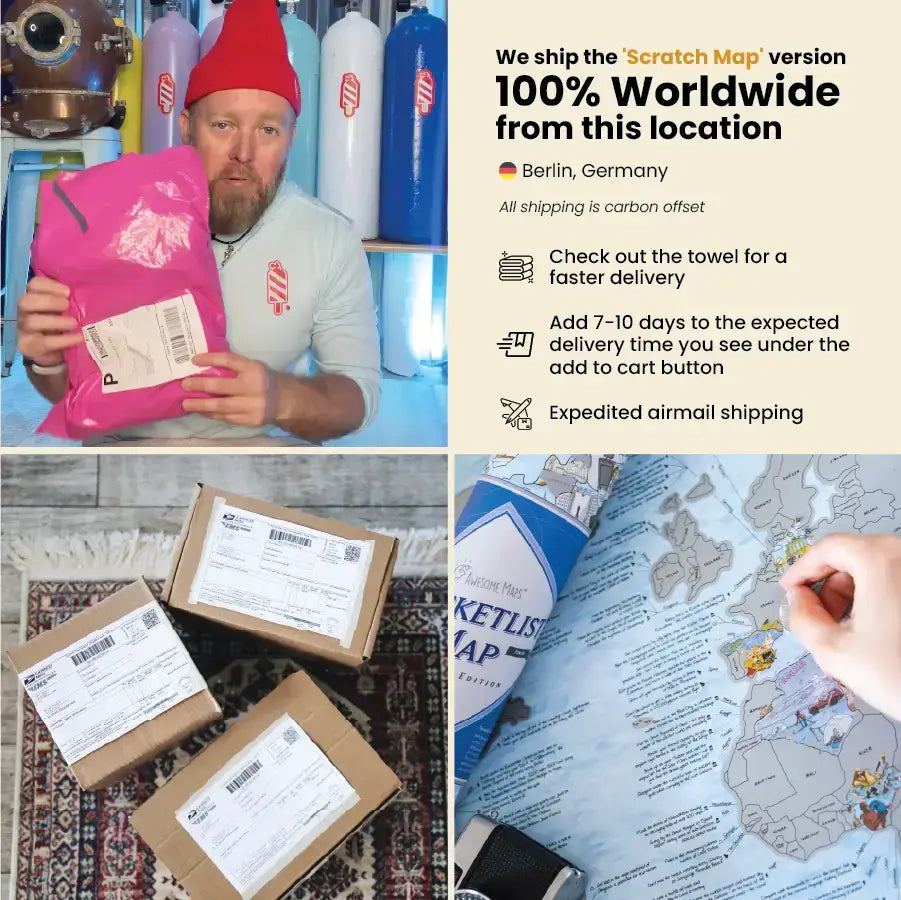
Towels, Travel Products & Bundles are available to ship from
- Utah, USA
- Victoria, Australia
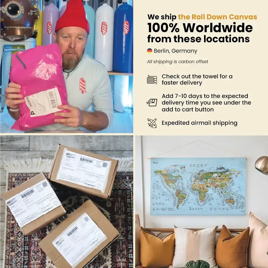
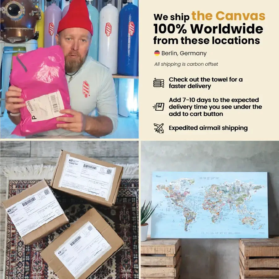
- Berlin, Germany
- Free shipping on all orders of 2 and more products
- Expedited shipping $4.90 | 3.90€
- Express options available during checkout
All orders containing a Premium Paper Map, Scratch Map, Roll Down Canvas, Canvas
will be shipped in their entirety from Berlin, Germany
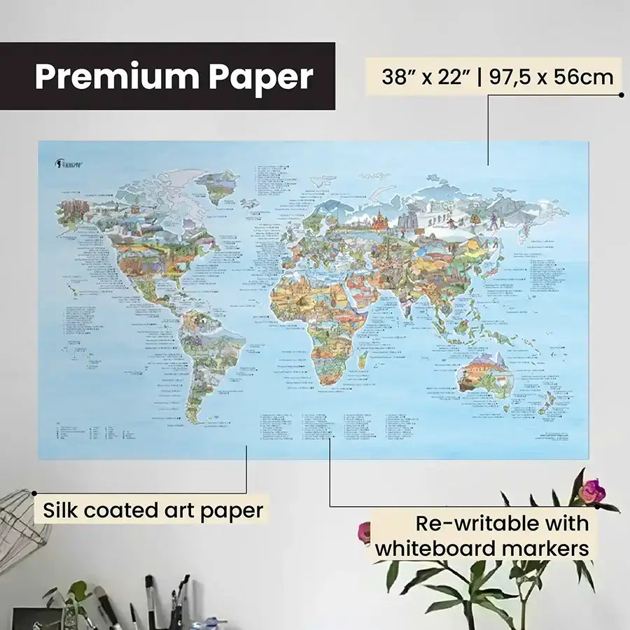
Premium Paper
• 97,5 x 56 cm (38" x 22")
• 250gsm (170lbs) art paper – high quality, acid free, silk coated paper
• Writable with a dry-erase marker
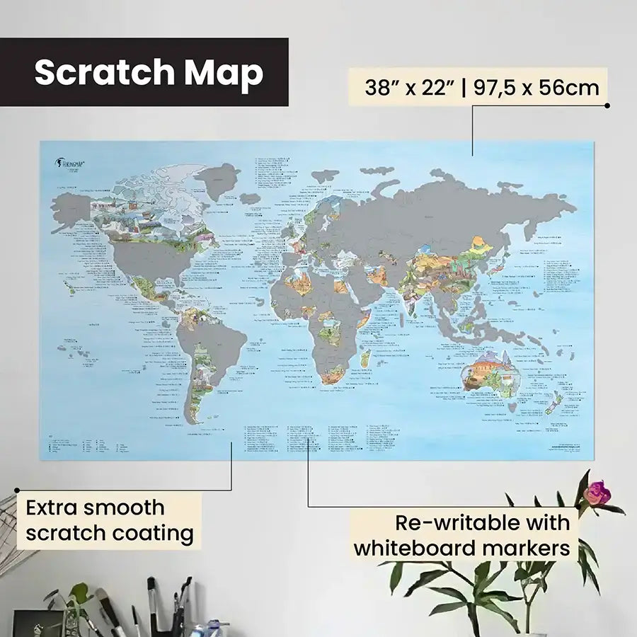
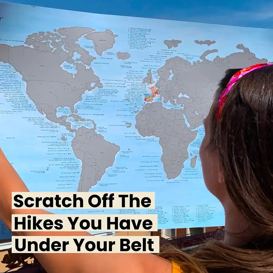
Scratch Edition
• 97,5 x 56cm (38" x 22")
• 250gsm (170lbs) art paper - high quality, acid free, silk coated paper
• Silver scratch coat - new formula for buttery smooth scratching
Scratch Edition
• 97,5 x 56cm (38" x 22")
• 250gsm (170lbs) art paper - high quality, acid free, silk coated paper
• Silver scratch coat - new formula for buttery smooth scratching
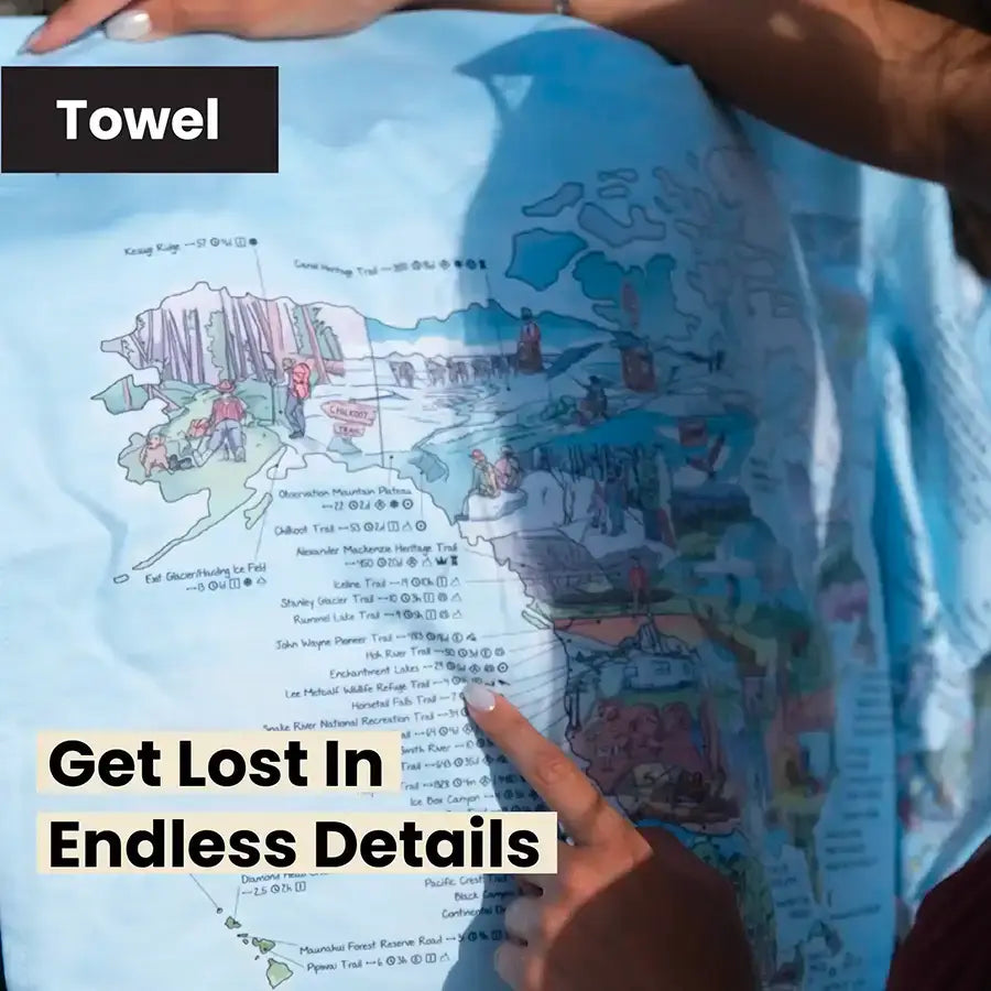
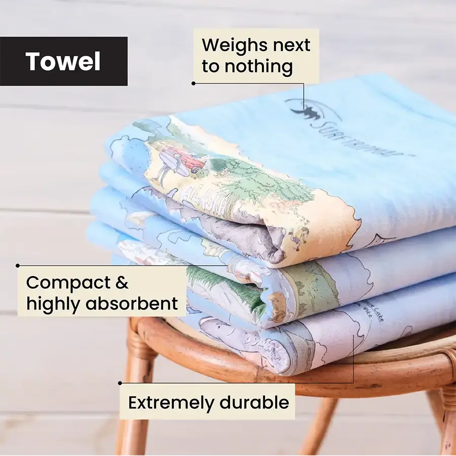
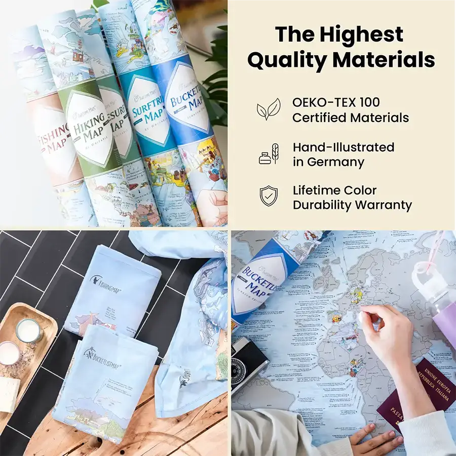
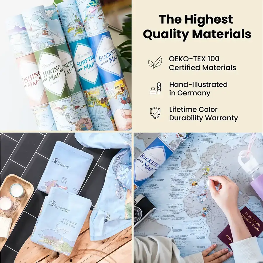
Towel
• 155 x 90 cm (61” x 35”) microfiber towel
• Quick drying and highly absorbent material
• Antibacterial and super lightweight
• No PVC and solvent-free inks
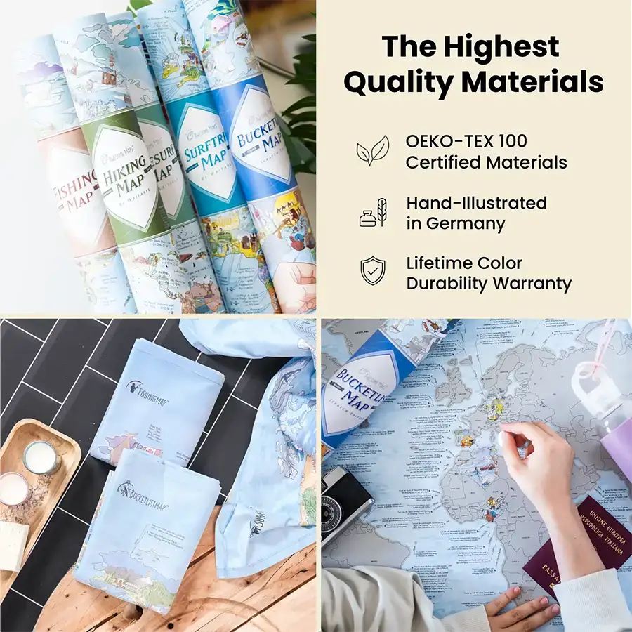
• OEKO-TEX 100 certified
Towel
• 155 x 90 cm (61” x 35”) microfiber towel
• Quick drying and highly absorbent material
• Antibacterial and super lightweight
• No PVC and solvent-free inks
• OEKO-TEX 100 certified
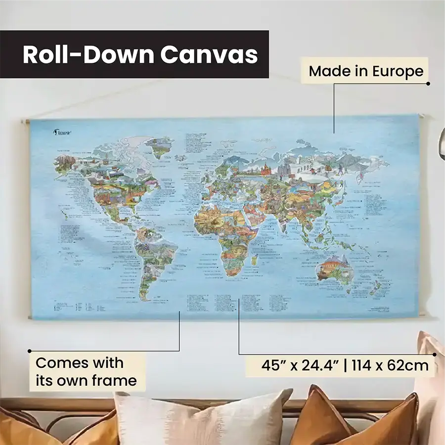
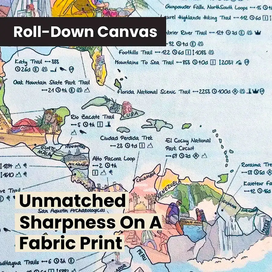
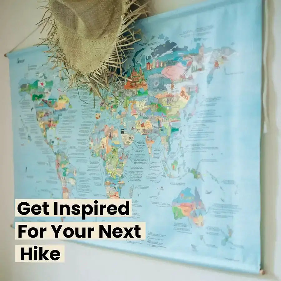
Roll Down Canvas
• Size: 114 x 62 cm (45" x 24.4")
• Map is made of 100 % eco microfiber - no PVC and solvent-free inks
• Free frame, easily assembled (no screws, no glue) and free organic rope to hang
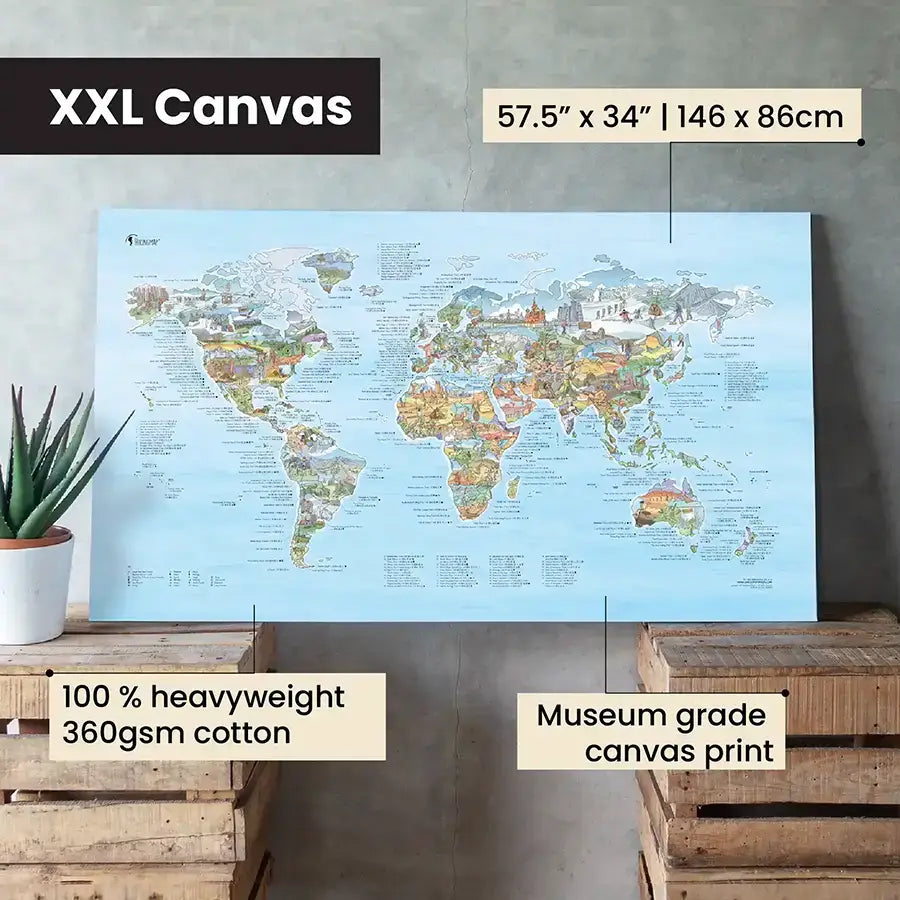
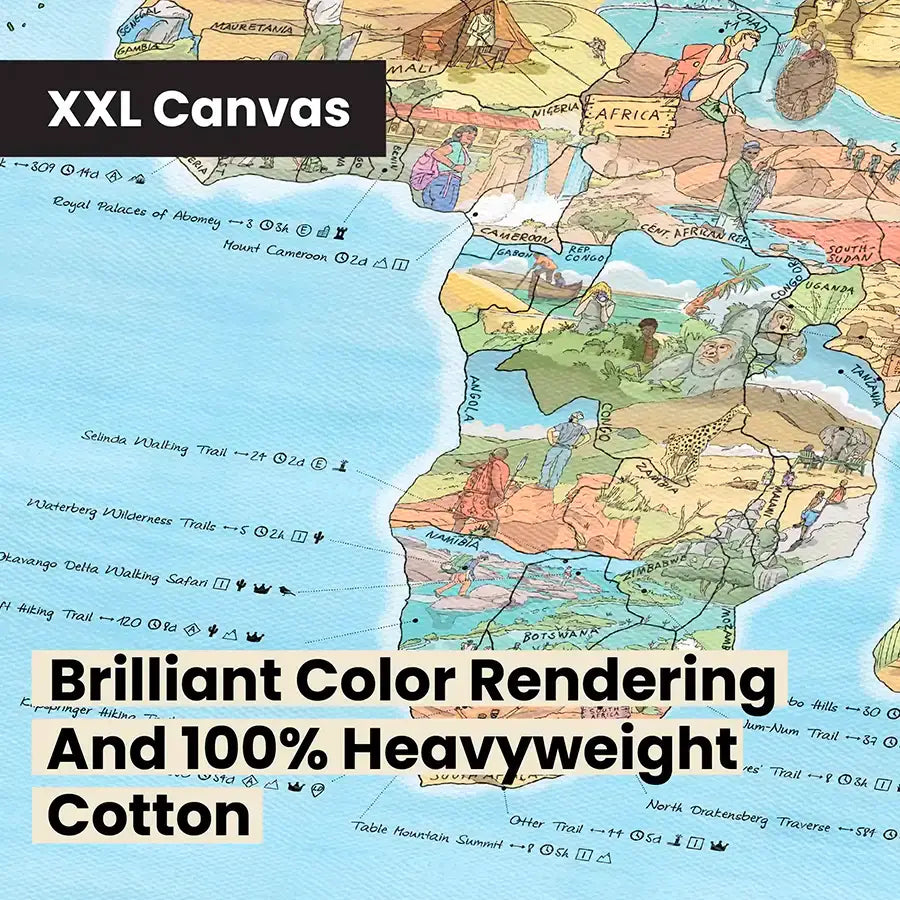
XXL Canvas
• Size 146 x 86 cm (57.5" x 34")
• Made of 100% heavyweight 360 gsm cotton. The feel is super high quality
• Matt coating for exclusive art reproductions with brilliant color rendering
• Eco conscious water based ink
• Does not include a frame, frame can be bought separately
XXL Canvas
• Size 146 x 86 cm (57.5" x 34")
• Made of 100% heavyweight 360 gsm cotton. The feel is super high quality
• Matt coating for exclusive art reproductions with brilliant color rendering
• Eco conscious water based ink
• Does not include a frame, frame can be bought separately


Add a Towel for 35% OFF
& Unlock Free Shipping
2x Towels

Add a Towel for 35% OFF
& Unlock Free Shipping
Premium Paper + Towel
Add a Towel for 35% OFF
& Unlock Free Shipping
Scratch Edition + Towel

Add a Towel for 35% OFF
& Unlock Free Shipping
Roll Down Canvas + Towel

Add a Towel for 35% OFF
& Unlock Free Shipping
XXL Canvas + Towel